Data Processing

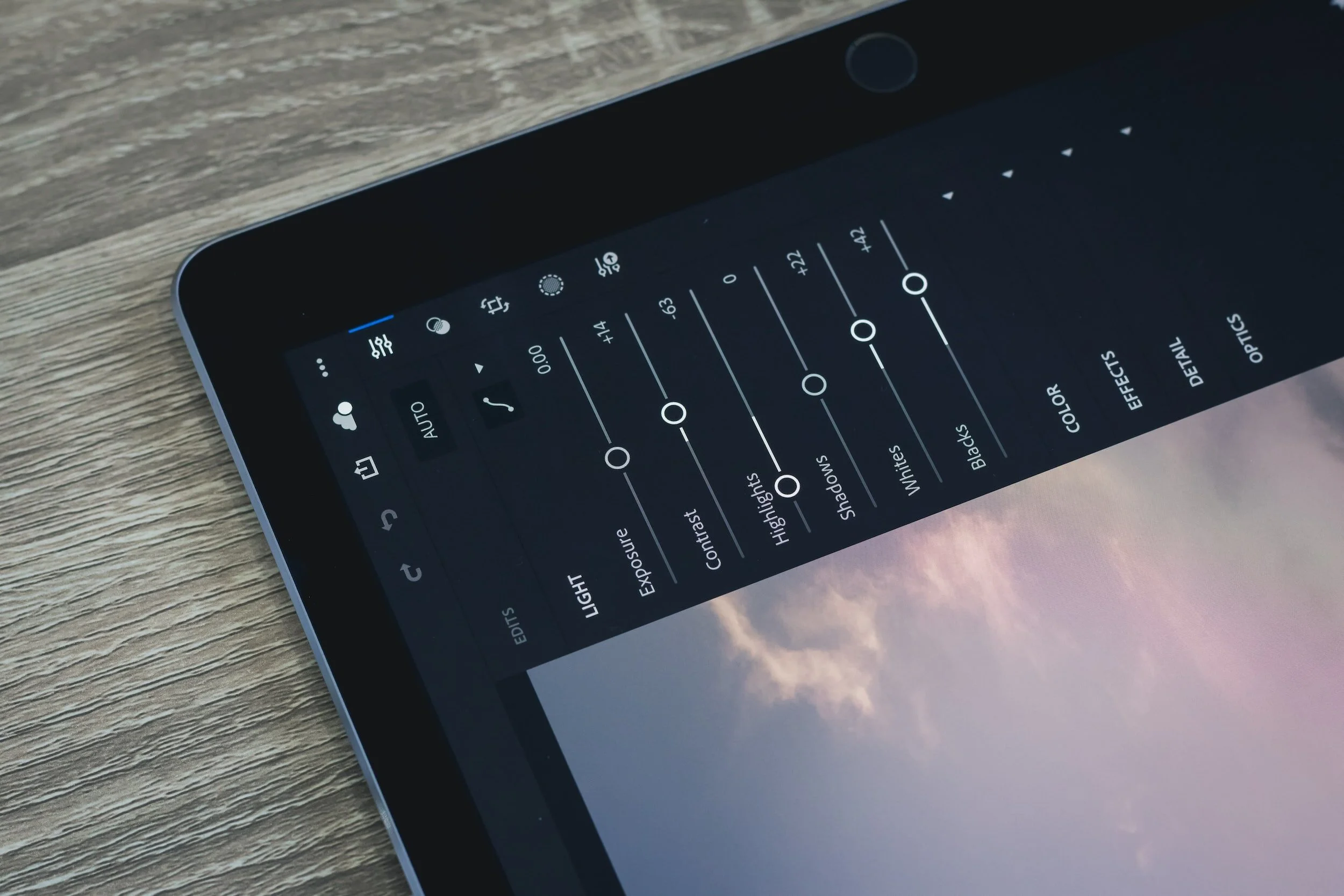
Processing maps , photo editing, and video processing is essential parts of how SLVCDS creates great maps, photos, and videos. SLVCDS is open to processing data for you as well! If you want photos, videos, or maps processed contact us!